Waterproof Charts 5E Homosassa Bay to Suwannee River Large Print
WATERPROOF CHARTS | SKU:
740399000556
$2995
Unit price
/
Unavailable
Waterproof Charts 5E Homosassa Bay to Suwannee River Large Print
Pickup Available
Pickup Available
Get your order packed within 4 hours.
Pickup available at store
4301 North Federal Highway
Pompano Beach FL 33064
United States
Need Help?
Need Help?
For any questions or assistance, feel free to reach out to our support team. We’re here to help!
📞 Contact Number: +1-877-337-9591
📧 Email: customerservice@chaosfishing.com
WARNING: For more information go to www.P65Warnings.ca.gov

Waterproof Charts 5E Homosassa Bay to Suwannee River Large Print
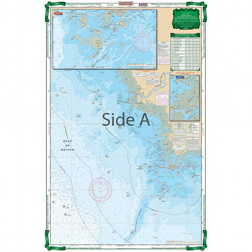
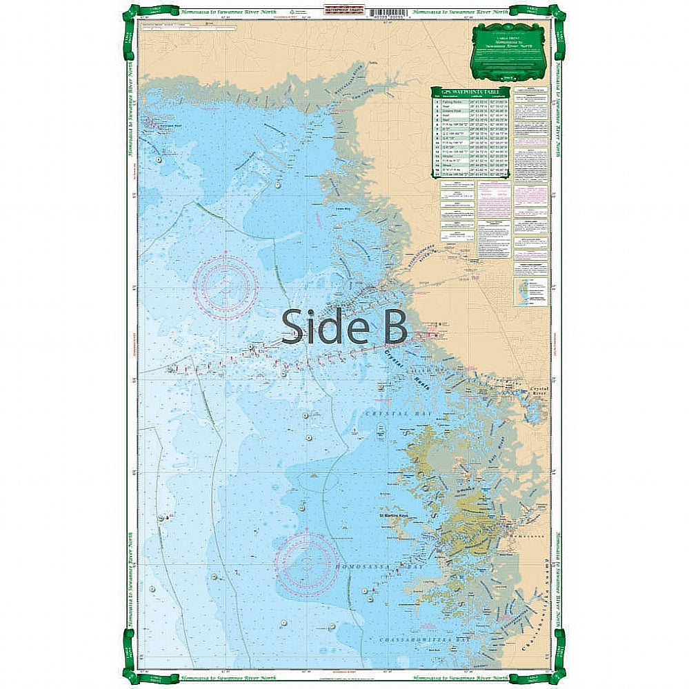
Coastal Coverage from the Chassahowitzka River north through Cedar Key to Suwanee River. Detailed insets of Suwannee and Cedar Key area. Chart splices two NOAA charts for good overview of area. Large Print and improved color scheme make it exceptionally easy to read. Waypoints for GPS users. We have the best nautical charts Florida has to offer. We go in-depth, talking to locals and charter captains, as well as using data from sources like NOAA charts. Coastal coverage runs from the Chassahowitzka River north through Cedar Key to the Suwanee River. Detailed insets of Suwannee and Cedar Key area are also included. This navigation chart splices two NOAA charts for a great overview of area. Large print and improved color scheme make it exceptionally easy to read and perfect for framing. Waypoints for GPS will allow you to easily plug in these coordinates to a GPS unit and get on your way
Payment & Security
Payment methods
Your payment information is processed securely. We do not store credit card details nor have access to your credit card information.

