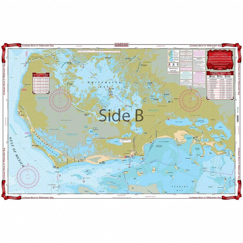
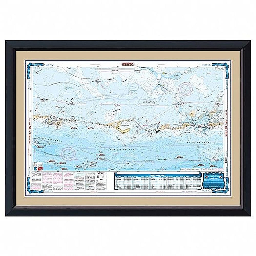
Waterproof Charts 39 Lostmans River & Whitewater Bay Standard Navigation
WATERPROOF CHARTS | SKU:
740399003908
Sold out
$29.95
Unit price
/
Unavailable
Pickup Available
Pickup Available
Get your order packed within 4 hours.
Pickup available at store
4301 North Federal Highway
Pompano Beach FL 33064
United States
Care information
Care information
Reach out to our 24*7 chat support
WARNING: For more information go to www.P65Warnings.ca.gov
Detailed Coverage of the southwest Everglades. Coastal and inside coverage from Plover Key south to Shark River on the north side, including Lostmans and Broad Rivers. The south side has detailed coverage of the coast of Cape Sable, and all of Whitewater Bay on the inside. Complete details for the Wilderness Waterway for small boaters and canoeists. (Complete this trip to Everglades City with chart #41). Includes Flamingo and north Florida Bay area south to Clive Key and east to the Dump Keys and Terrapin Bay. You will find excellent inland and coastal coverage on this navigation chart. Our chart includes detailed coverage of the southwest Everglades. Coastal and inland coverage runs from Plover Key south to Shark River on the north side, including Lostmans and Broad Rivers. The south side has detailed coverage of the coast of Cape Sable, and all of Whitewater Bay on the inside. Complete details for the Wilderness Waterway for small boaters and canoeists. (Complete this trip to Everglades City with nautical chart #41). This navigation map also includes Flamingo and north Florida Bay area south to Clive Key and east to the Dump Keys and Terrapin Bay.
-
Classification-
-
Color-
-
Length-
-
Line class-
-
Action-
-
Blank-
-
Guides-
-
Reel Seat-
-
Foregrip-
-
Gimbal-
Payment & Security
Payment methods
Your payment information is processed securely. We do not store credit card details nor have access to your credit card information.