Waterproof Charts 38 North Bahama Islands Standard Navigation
Waterproof Charts 38 North Bahama Islands Standard Navigation
Pickup Available
Pickup Available
Get your order packed within 4 hours.
Pickup available at store
4301 North Federal Highway
Pompano Beach FL 33064
United States
Need Help?
Need Help?
For any questions or assistance, feel free to reach out to our support team. We’re here to help!
📞 Contact Number: +1-877-337-9591
📧 Email: customerservice@chaosfishing.com
WARNING: For more information go to www.P65Warnings.ca.gov

Waterproof Charts 38 North Bahama Islands Standard Navigation
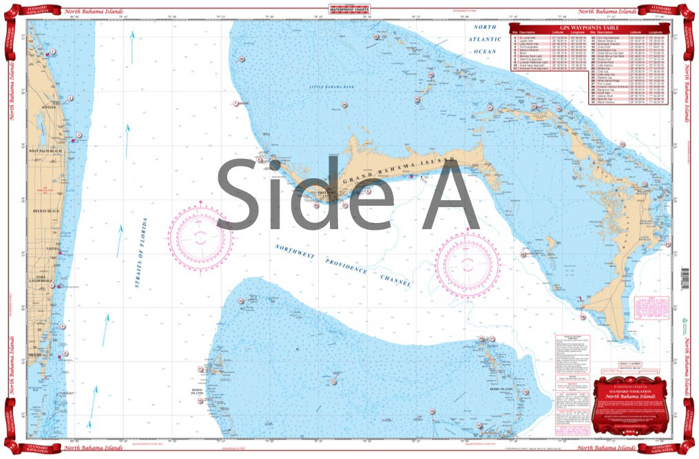
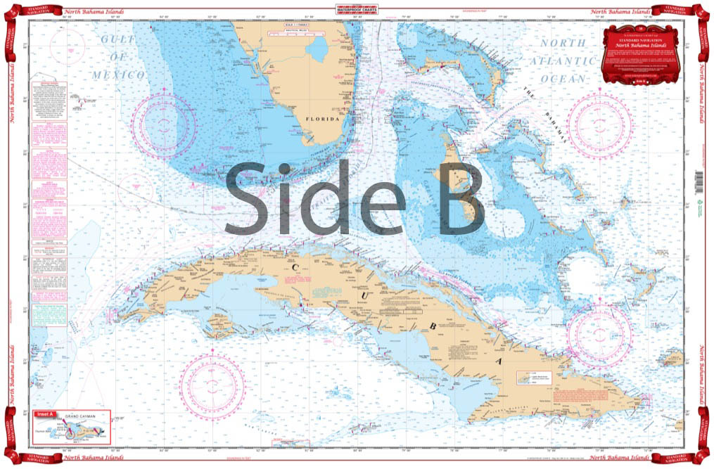
Side A is an enlarged projection of FloridaÕs South East Coast from Stuart south to Elliot Key and east to include the Abacos Islands and south to include the Bimini and Berry Islands. Side B includes South Florida, Cuba, and the Bahama Islands south and east to the northwest coast of Haiti. This is a great chart for planning your trip to the Abacos or anywhere in the Bahamas. This Chart of the Bahamas needs to be in your Chart Drawer. ÊSide A is an enlarged projection of FloridaÕs South East Coast from Stuart south to Elliot Key and east to include the Abacos Islands and south to include the Bimini and Berry Islands. ÊSide B includes South Florida, Cuba, and the Bahama Islands south and east to the northwest coast of Haiti. This is a great navigation chart for planning your trip to the Abacos or anywhere in the Bahamas. You will be able to expertly journey from Florida to the Bahamas with ease.
Payment & Security
Payment methods
Your payment information is processed securely. We do not store credit card details nor have access to your credit card information.


