Waterproof Charts 32B British Virgin Islands Standard Navigation
Waterproof Charts 32B British Virgin Islands Standard Navigation
Pickup Available
Pickup Available
Get your order packed within 4 hours.
Pickup available at store
4301 North Federal Highway
Pompano Beach FL 33064
United States
Need Help?
Need Help?
For any questions or assistance, feel free to reach out to our support team. We’re here to help!
📞 Contact Number: +1-877-337-9591
📧 Email: customerservice@chaosfishing.com
WARNING: For more information go to www.P65Warnings.ca.gov

Waterproof Charts 32B British Virgin Islands Standard Navigation
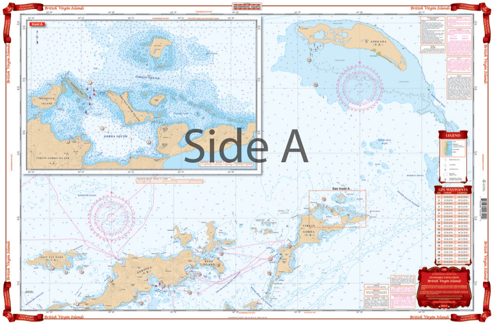
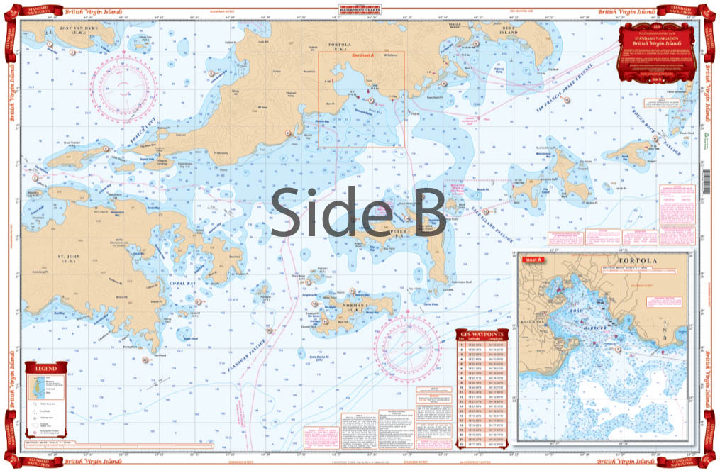
Coverage from St. John and Jost Van Dyke east and north to Virgin Gorda and Anegada. Detailed insets for Gorda Sound show in recent construction and for Road Harbor. Large Print coverage of the Sir Francis Drake Channel and Norman, Peter, Salt, Cooper and Ginger Islands. ÊThis Brish Virgin Islands map is a boaterÕs dream. The bright, vibrant colors and large text make it easy to comprehend. It includes coverage from St. John and Jost Van Dyke east and north to Virgin Gorda and Anegada. Detailed insets for Gorda Sound show recent construction, as well as Road Harbor. WeÕve also included large print coverage of the Sir Francis Drake Channel and Norman, Peter, Salt, Cooper and Ginger Islands. Get this handsome navigation map framed on your home or office wall. It will surely impress your friends or coworkers, and at the very least be a conversation starter.
Payment & Security
Payment methods
Your payment information is processed securely. We do not store credit card details nor have access to your credit card information.


