Waterproof Charts 124F Cape Canaveral Fishing Offshore Fish &
Waterproof Charts 124F Cape Canaveral Fishing Offshore Fish &
Pickup Available
Pickup Available
Get your order packed within 4 hours.
Pickup available at store
4301 North Federal Highway
Pompano Beach FL 33064
United States
Need Help?
Need Help?
For any questions or assistance, feel free to reach out to our support team. We’re here to help!
📞 Contact Number: +1-877-337-9591
📧 Email: customerservice@chaosfishing.com
WARNING: For more information go to www.P65Warnings.ca.gov

Waterproof Charts 124F Cape Canaveral Fishing Offshore Fish &
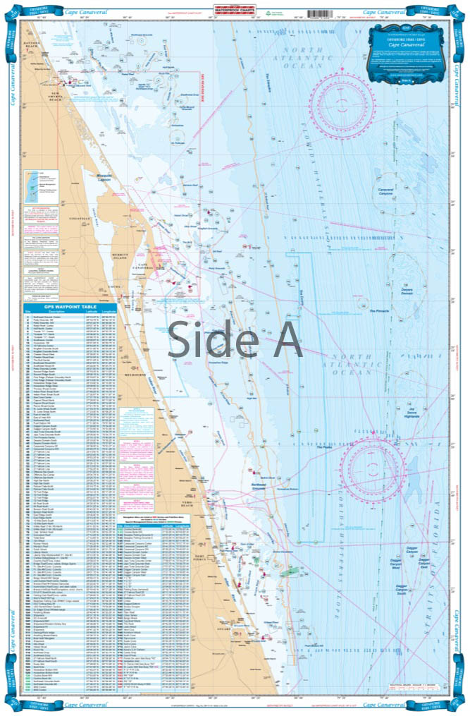
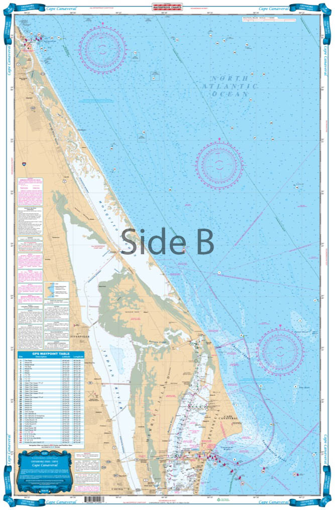
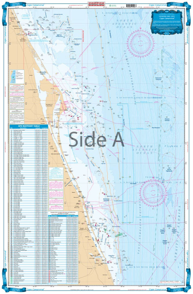
Coverage from Ponce Inlet south to Stuart and out to 60 miles offshore. Derived from 4 different Baythymetric charts showing detailed bottom contour thru the deepest water. Popular fishing grounds are highlighted with their local names and GPS coordinates. Over 160 indexed and plotted coordinates for fishing on the offshore side. The reverse side is more detailed coastal coverage from Ponce Inlet to south of the Port Canaveral channel with additional coordinates for buoys and fishing areas. A total of over 200 coordinates.ÊDonÕt head offshore without this Offshore Cape Canaveral fishing chart. This navigation map has coverage from Ponce Inlet south to Stuart and out to 60 miles offshore. This nautical chart is derived from 4 different Baythymetric charts showing detailed bottom contour thru the deepest water. Popular fishing grounds are highlighted with their local names and GPS coordinates (to help you catch more fish!). You will find over 160 indexed and plotted coordinates for fishing on the offshore side. The reverse side has more detailed coastal coverage from Ponce Inlet to south of the Port Canaveral channel with additional coordinates for buoys and fishing areas. A total of over 200 coordinates! You can easily add these useful coordinates into your GPS unit.Ê
Payment & Security
Payment methods
Your payment information is processed securely. We do not store credit card details nor have access to your credit card information.

