Waterproof Charts 123F SE Florida - Swordfish & Trolling Fishing
WATERPROOF CHARTS | SKU:
740399012368
Sold out
$29.95
Unit price
/
Unavailable
Pickup Available
Pickup Available
Get your order packed within 4 hours.
Pickup available at store
4301 North Federal Highway
Pompano Beach FL 33064
United States
Need Help?
Need Help?
For any questions or assistance, feel free to reach out to our support team. We’re here to help!
📞 Contact Number: +1-877-337-9591
📧 Email: customerservice@chaosfishing.com
WARNING: For more information go to www.P65Warnings.ca.gov
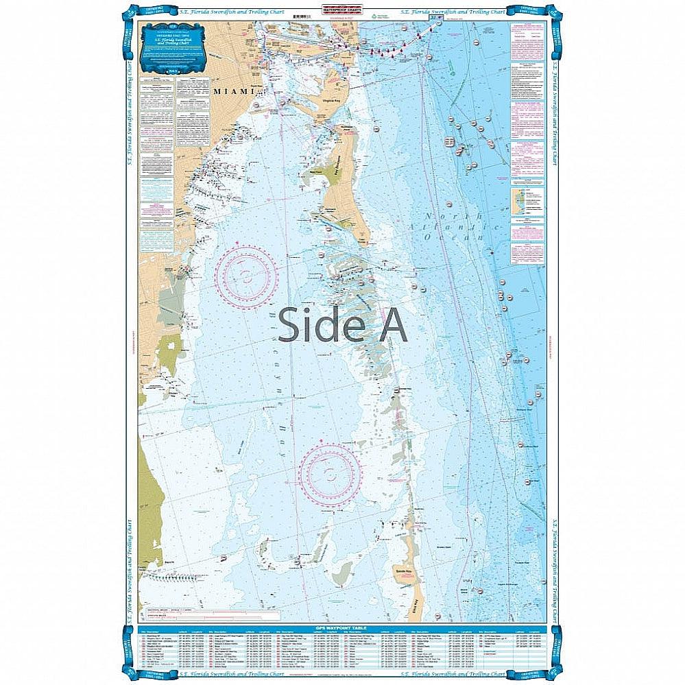
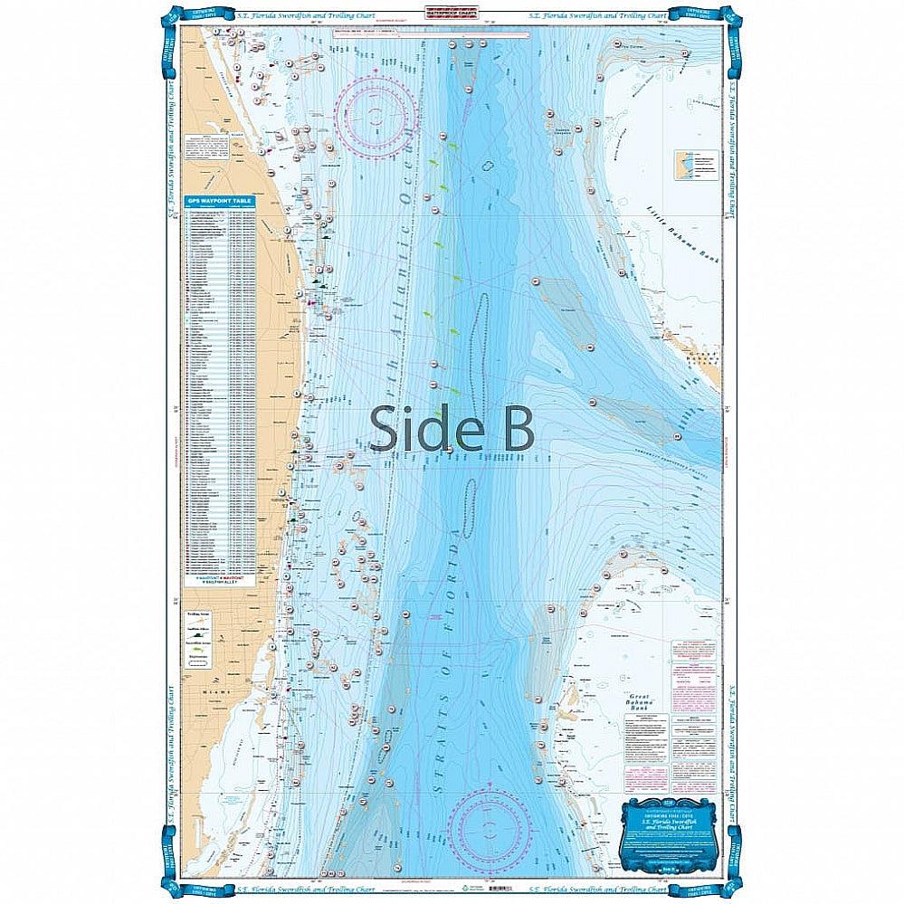
Coverage from Ft. Pierce south to Key Largo and offshore to the West Bahamas. Highlighted are popular trolling areas with their local names which provide the structure for the best deep water fishing including Sailfish Alleys, Swordfish, Haulover and Holy Grounds, The Zoo, Tuna City, and Bimini Blue Marlin Grounds. Over 100 GPS coordinates provide targets for trolling fishermen. The reverse side is coverage from North Miami to Elliot Key with inshore detail and has listings for 70 popular wrecks and reefs, all with GPS coordinates. Are you an avid fishermen or planning to visit Southeast Florida? You’ll need this swordfish and trolling offshore fishing chart. No nautical chart does it better than this! Coverage runs from Ft. Pierce south to Key Largo and offshore to the West Bahamas. Highlighted are popular trolling areas with their local names which provide the structure for the best deep water fishing including Sailfish Alleys, Swordfish, Haulover and Holy Grounds, The Zoo, Tuna City, and Bimini Blue Marlin Grounds. Over 100 GPS coordinates provide targets for trolling fishermen. The reverse side has coverage from North Miami to Elliot Key with inshore detail and has listings for 70 popular wrecks and reefs, all with GPS coordinates.
Payment & Security
Payment methods
Your payment information is processed securely. We do not store credit card details nor have access to your credit card information.