Free Shipping On Full-Priced Orders Over $50*

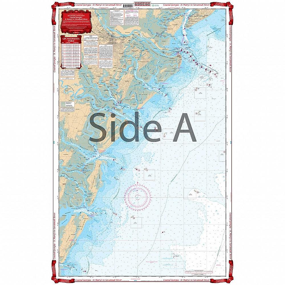
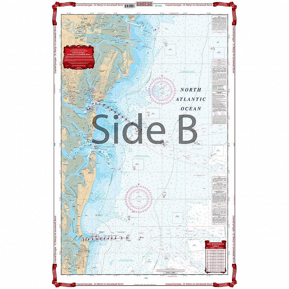
Waterproof Charts 92 St. Mary's to Savannah River Standard Navigation

WATERPROOF CHARTS  |  SKU: 740399009207
$29.95

Prop65 Warning

Pickup Available

Get your order packed within 4 hours.

Pickup available at store

4301 North Federal Highway
Pompano Beach FL 33064
United States

Need Help?

For any questions or assistance, feel free to reach out to our support team. We’re here to help!


📞 Contact Number: +1-877-337-9591
📧 Email: customerservice@chaosfishing.com

Specification

No specifications available.

Covers the coastal area from Fernandina Beach, Florida north to Hilton Head, South Carolina and includes all of Georgia’s coastal waters, sounds and river mouths. Covers St. Andrew Sound, St. Simons Sound, Altamaha Sound, Doboy Sound, Sapelo Sound, St Catherines Sound, Ossabaw Sound, the Savannah River Entrance, and Calibogue Sound. Coverage 10 to 25 miles offshore. A total of 26 plotted GPS Waypoints. Georgia boaters and fishermen need this nautical map on their vessels. Besides being able to plan trips, this navigation chart is also excellent for tracking hurricanes. It covers the coastal area from Fernandina Beach, Florida north to Hilton Head, South Carolina and includes all of Georgia’s coastal waters, sounds and river mouths. There is also detailed coverage St. Andrew Sound, St. Simons Sound, Altamaha Sound, Doboy Sound, Sapelo Sound, St Catherines Sound, Ossabaw Sound, the Savannah River Entrance, and Calibogue Sound. Coverage runs 10 to 25 miles offshore. A total of 26 plotted GPS Waypoints will help you locate places of interest.

Payment & Security

Payment methods

  • American Express
  • Apple Pay
  • Diners Club
  • Discover
  • Google Pay
  • Mastercard
  • PayPal
  • Visa

Your payment information is processed securely. We do not store credit card details nor have access to your credit card information.