Waterproof Charts 32 US & British Virgin Islands Standard Navigation
Waterproof Charts 32 US & British Virgin Islands Standard Navigation
Pickup Available
Pickup Available
Get your order packed within 4 hours.
Pickup available at store
4301 North Federal Highway
Pompano Beach FL 33064
United States
Need Help?
Need Help?
For any questions or assistance, feel free to reach out to our support team. We’re here to help!
📞 Contact Number: +1-877-337-9591
📧 Email: customerservice@chaosfishing.com
WARNING: For more information go to www.P65Warnings.ca.gov

Waterproof Charts 32 US & British Virgin Islands Standard Navigation
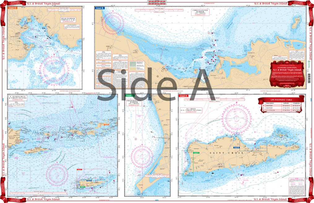
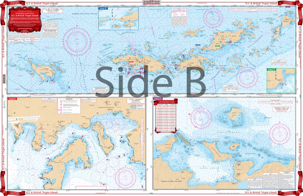
Complete coverage of the Virgins from Culebra east to Virgin Gorda and south to St.Croix. Expanded detailed insets for the areas of Charlotte Amalie Harbor, Gorda Sound, TortolaÕs West End, Nanny Key, South End of Virgin Gorda, Road Harbor, Christiansted and West St. Croix and the Island of St Croix. Shows new construction on St. Thomas and Virgin Gorda. Boating the US and British Virgin Islands is a dream for most. These areas are famous for their waters. Island hopping is very popular in these parts, so itÕs a good idea to grab a Virgin Islands map to help guide the way. You wonÕt need separate navigation charts for this area. We have Êcombined a US Virgin Islands map and British Virgin Islands map! Complete coverage of the Virgin Islands from Culebra east to Virgin Gorda and south to St.Croix. Expanded detailed insets for the areas of Charlotte Amalie Harbor, Gorda Sound, TortolaÕs West End, Nanny Key, South End of Virgin Gorda, Road Harbor, Christiansted and West St. Croix and the Island of St Croix. Shows new construction on St. Thomas and Virgin Gorda. To commemorate your trip, get this Virgin Islands Map framed.Ê
Payment & Security
Payment methods
Your payment information is processed securely. We do not store credit card details nor have access to your credit card information.


