Waterproof Charts 16 Florida to Puerto Rico & Mona Passage Standard
Waterproof Charts 16 Florida to Puerto Rico & Mona Passage Standard
Pickup Available
Pickup Available
Get your order packed within 4 hours.
Pickup available at store
4301 North Federal Highway
Pompano Beach FL 33064
United States
Need Help?
Need Help?
For any questions or assistance, feel free to reach out to our support team. We’re here to help!
📞 Contact Number: +1-877-337-9591
📧 Email: customerservice@chaosfishing.com
WARNING: For more information go to www.P65Warnings.ca.gov

Waterproof Charts 16 Florida to Puerto Rico & Mona Passage Standard
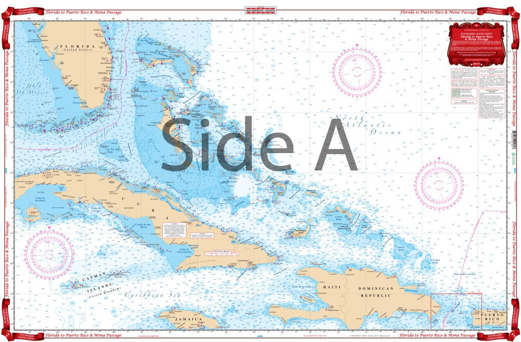
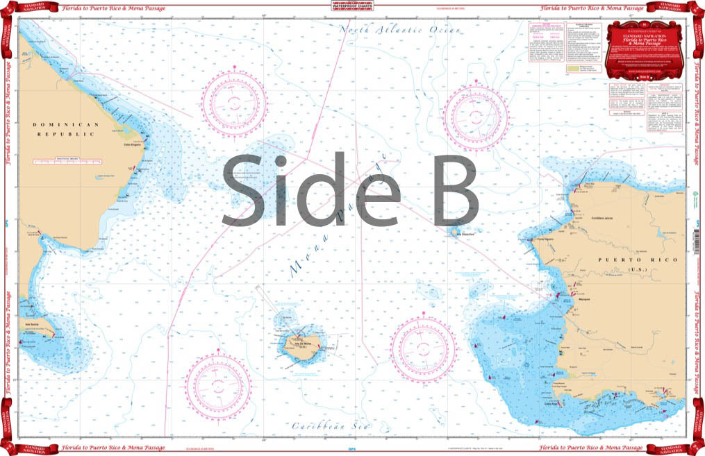
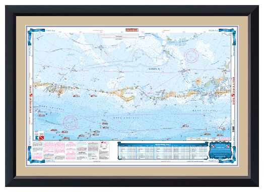
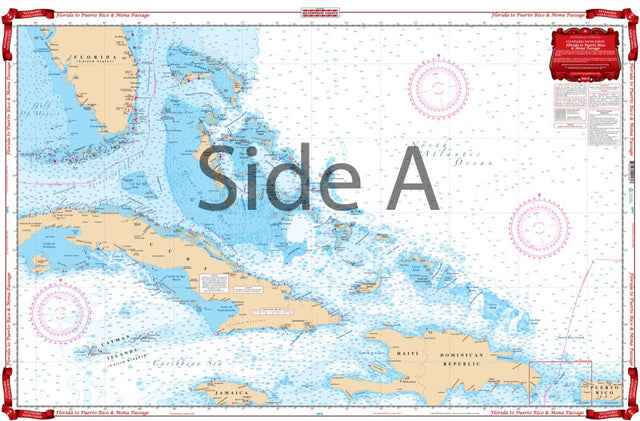
This offshore navigation chart shows the area from mid Florida to Western Puerto Rico on side A. Includes Hispanola, Turks and Caicos Islands, Jamaica, Cayman Islands and the entire Bahama chain. Side B covers Mona Passage, between Hispanola and Puerto Rico, and shows the Island of Mona and the Mayaguez and Boqueron areas east to Ensenada. If you plan to head across the Florida Straits, youÕre in luck! These marine maps offer an overhead view from the tip of South Florida down to the Caribbean. This offshore navigation chart shows the area from mid Florida to Western Puerto Rico on side A. Includes Hispanola, Turks and Caicos Islands, Jamaica, Cayman Islands and the entire Bahama chain. ÊSide B covers Mona Passage, between Hispanola and Puerto Rico, and shows the Island of Mona and the Mayaguez and Boqueron areas east to Ensenada. For those of you wishing you could have this navigation map framed on your wall, now you can with our custom framing service.
Payment & Security
Payment methods
Your payment information is processed securely. We do not store credit card details nor have access to your credit card information.

