Waterproof Charts 111 Galveston Bay Standard Navigation
Waterproof Charts 111 Galveston Bay Standard Navigation
Pickup Available
Pickup Available
Get your order packed within 4 hours.
Pickup available at store
4301 North Federal Highway
Pompano Beach FL 33064
United States
Need Help?
Need Help?
For any questions or assistance, feel free to reach out to our support team. We’re here to help!
📞 Contact Number: +1-877-337-9591
📧 Email: customerservice@chaosfishing.com
WARNING: For more information go to www.P65Warnings.ca.gov

Waterproof Charts 111 Galveston Bay Standard Navigation
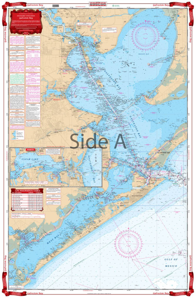
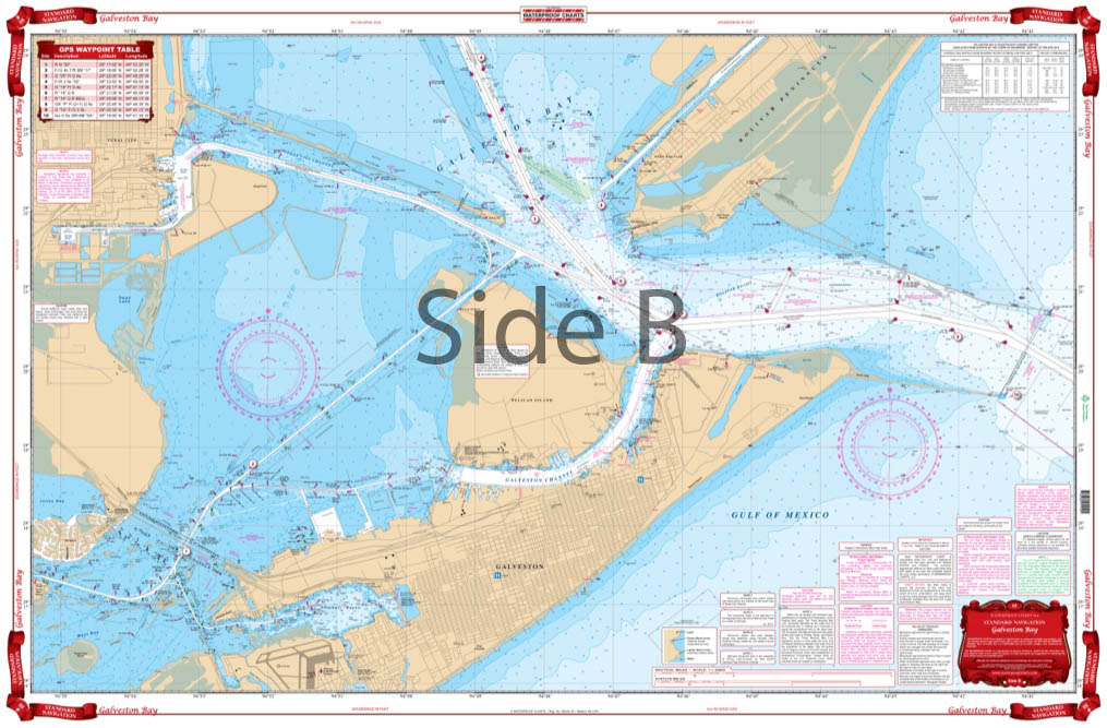
A terrific combination of charts for a great view of the entire bay. Coverage from Baytown south to Galveston and west to San Luis Pass. This brightly colored edition has latitude and longitude lines that makes it is easy to use with your GPS. Detailed Inset for Clear Lake and coverage of all of West Bay and all of Galveston Island. This chart includes a table of plotted GPS coordinates for entrance buoys and important markers. The reverse side is a blow up which covers the Galveston and Pelican Island area with a detailed view of the ICW and of Offatts Bayou and the Texas City Dike area. GPS Coordinates on both sides! This is a terrific combination of NOAA charts for a great view of the entire Galveston Bay. Coverage runs from Baytown south to Galveston and west to San Luis Pass. This brightly colored edition has latitude and longitude lines that makes it is easy to use with your GPS. Detailed inset for Clear Lake and coverage of all of West Bay and all of Galveston Island. This navigation chart includes a table of plotted GPS coordinates for entrance buoys and important markers. The reverse side of this marine map is a blow up which covers the Galveston Bay and Pelican Island area with a detailed view of the Intracoastal Waterway and of Offatts Bayou and the Texas City Dike area.Ê
Payment & Security
Payment methods
Your payment information is processed securely. We do not store credit card details nor have access to your credit card information.


