Waterproof Charts 98 Charleston Harbor to Myrtle Beach Standard
WATERPROOF CHARTS | SKU:
740399009801
$29.95
Unit price
/
Unavailable
Pickup Available
Pickup Available
Get your order packed within 4 hours.
Pickup available at store
4301 North Federal Highway
Pompano Beach FL 33064
United States
Care information
Care information
Reach out to our 24*7 chat support
⚠️ WARNING: This product can expose you to chemicals known to the State of California to cause cancer, birth defects, or other reproductive harm. For more information, go to www.P65Warnings.ca.gov
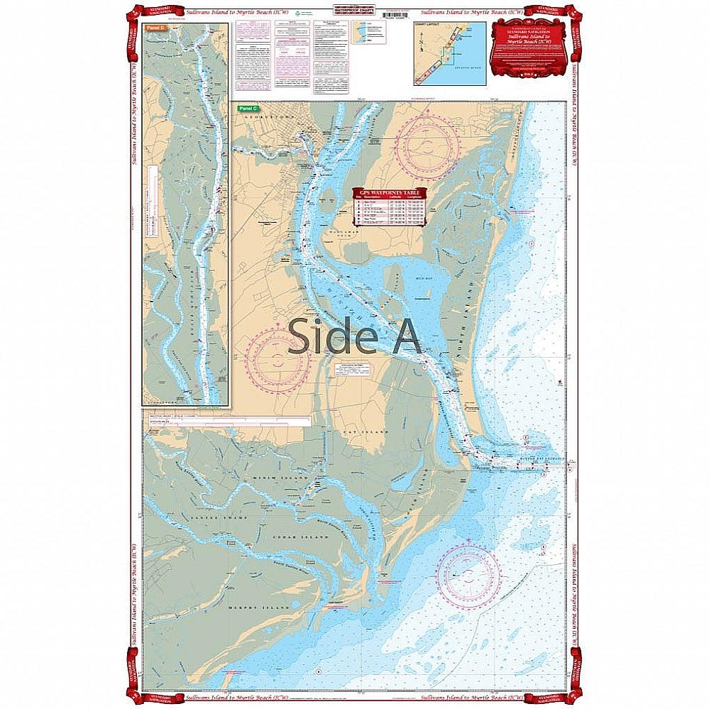
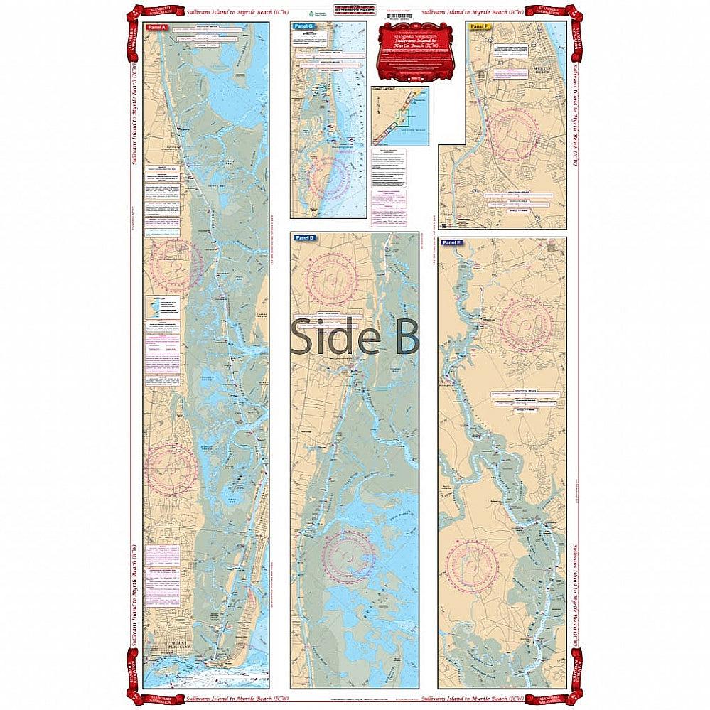
An excellent combination of two government charts makes for easy use. Starting at Sullivans Island, this chart provides complete coverage of the Intracoastal Waterway through Winyah Bay and Georgetown, north to mile maker 365 at Myrtle Beach. Also includes an inset for Murrell’s Inlet. Complete coverage for Winyah Bay and the entrances for the north and south Santee Rivers. This chart provides much more information than the Intracoastal Waterway chart alone! Take one look at this Myrtle Beach map and you will need no convincing. The vibrant colors and intense amount of detail make this the best navigation chart for the area. An excellent combination of two NOAA charts makes for easy use. Starting at Sullivans Island, this nautical map provides complete coverage of the Intracoastal Waterway through Winyah Bay and Georgetown, north to mile marker 365 at Myrtle Beach. Also includes an inset for Murrell’s Inlet. There is complete coverage for Winyah Bay and the entrances for the north and south Santee Rivers. This marine map provides much more information than the Intracoastal Waterway map alone!
-
Classification-
-
Color-
-
Length-
-
Line class-
-
Action-
-
Blank-
-
Guides-
-
Reel Seat-
-
Foregrip-
-
Gimbal-
Payment & Security
Payment methods
Your payment information is processed securely. We do not store credit card details nor have access to your credit card information.


