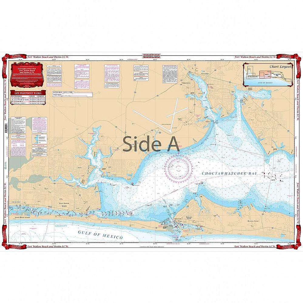
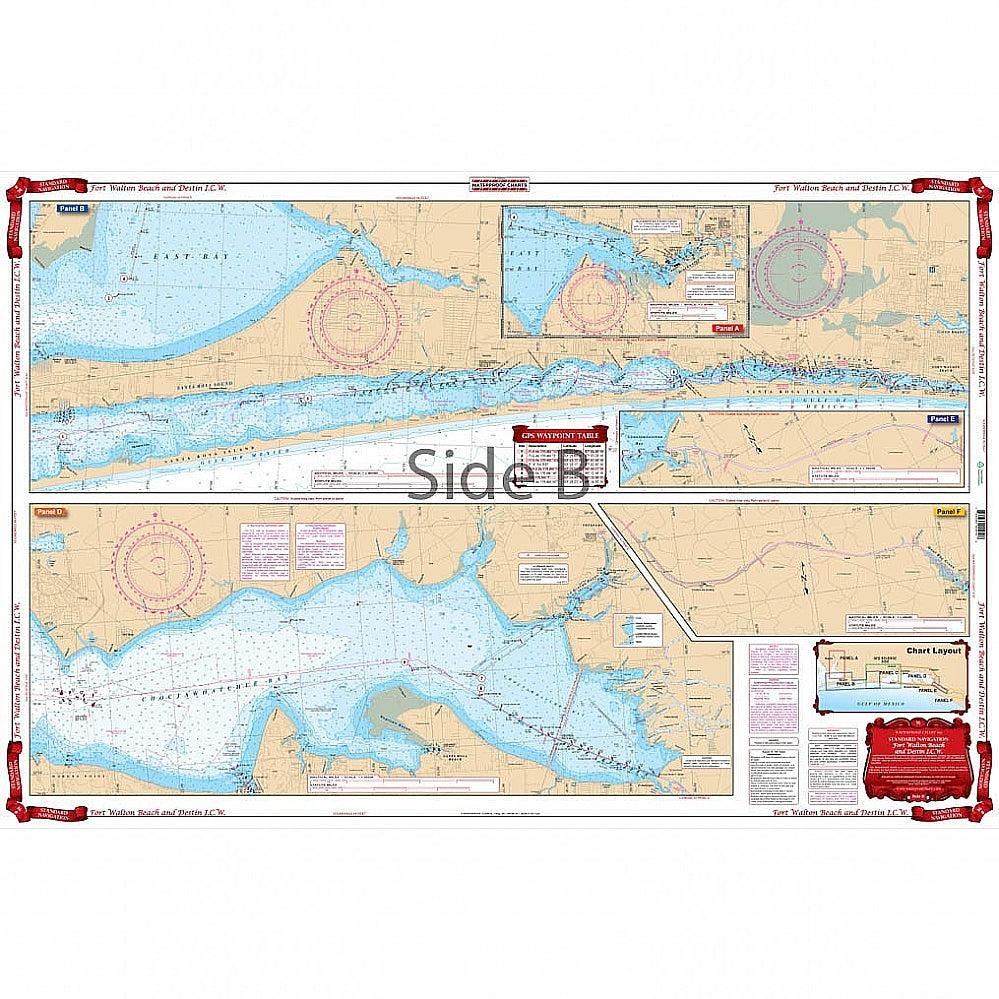
Waterproof Charts 91 Fort Walton Beach & Destin ICW Standard
WATERPROOF CHARTS | SKU:
740399009108
$29.95
Unit price
/
Unavailable
Pickup Available
Pickup Available
Get your order packed within 4 hours.
Pickup available at store
4301 North Federal Highway
Pompano Beach FL 33064
United States
Need help?
Need help?
For any questions or assistance, feel free to reach out to our support team. We’re here to help!
📞 Contact Number: +1-877-337-9591
📧 Email: customerservice@chaosfishing.com
WARNING: For more information go to www.P65Warnings.ca.gov
Complete Intracoastal Waterway detail from Oriole Beach at mile marker 195 through mile marker 270 (west of Panama City’s West Bay), and coverage of Choctawhatcee Bay in excellent detail. The Destin, Ft. Walton Beach, and Valparaiso area is enlarged to make it very easy to read. GPS Waypoints are printed directly on the chart. A colored key on each side makes it easy to understand. Large Print Place Names make areas easy to find. Don’t step foot off that dock without this navigation map in your hands. It has complete Intracoastal Waterway detail from Oriole Beach at mile marker 195 through mile marker 270 (west of Panama City’s West Bay), and coverage of Choctawhatchee Bay in excellent detail. The Destin, Ft. Walton Beach, and Valparaiso area is enlarged to make this marine map very easy to read. GPS waypoints are printed directly on the navigation chart. A colored key on each side makes it easy to understand. Large print place names make areas easy to find.
Payment & Security
Payment methods
Your payment information is processed securely. We do not store credit card details nor have access to your credit card information.


