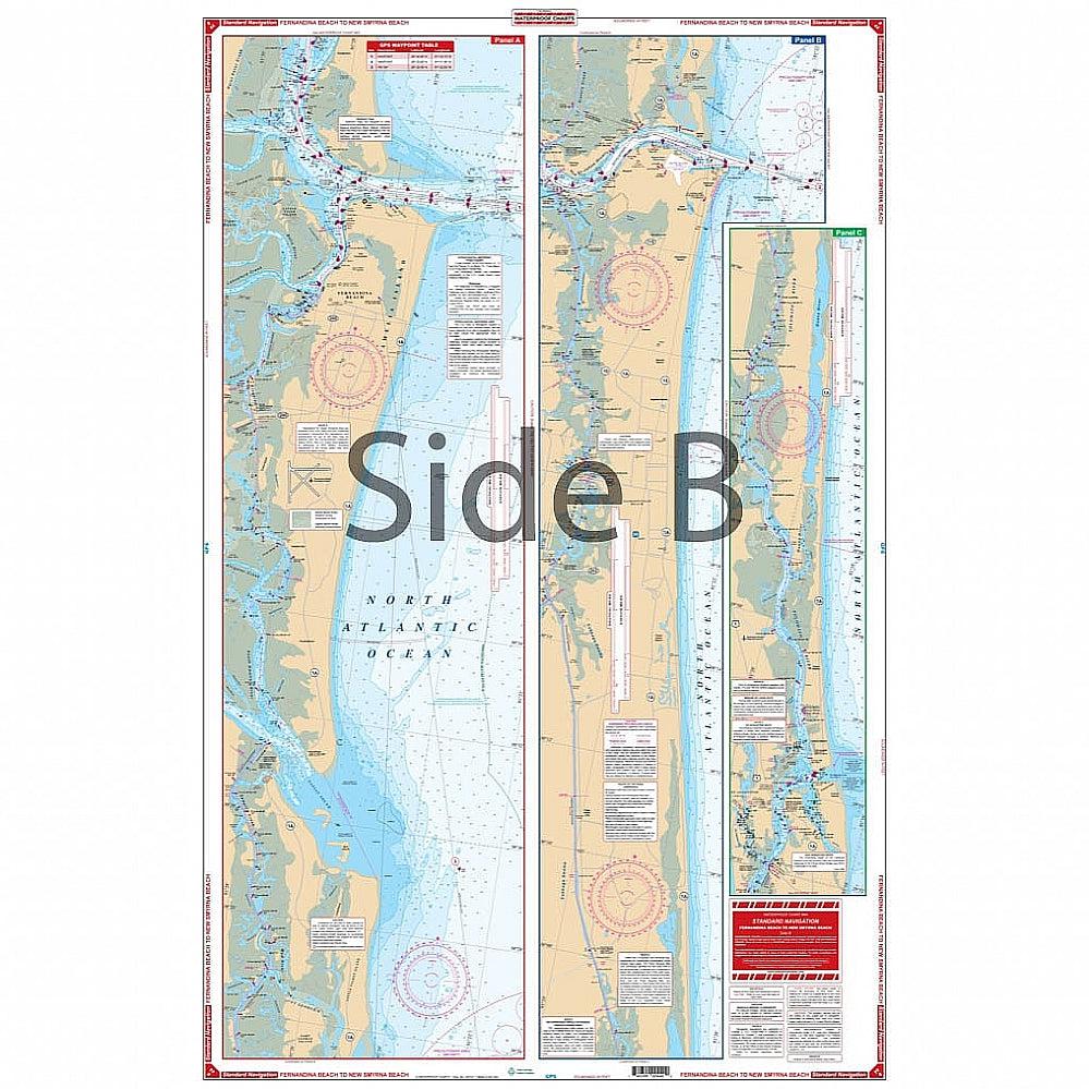
Waterproof Charts 44 Fernadina Beach to New Smyrna Beach Standard
WATERPROOF CHARTS | SKU:
740399004400
$29.95
Unit price
/
Unavailable
Pickup Available
Pickup Available
Get your order packed within 4 hours.
Pickup available at store
4301 North Federal Highway
Pompano Beach FL 33064
United States
Care information
Care information
Reach out to our 24*7 chat support
WARNING: For more information go to www.P65Warnings.ca.gov
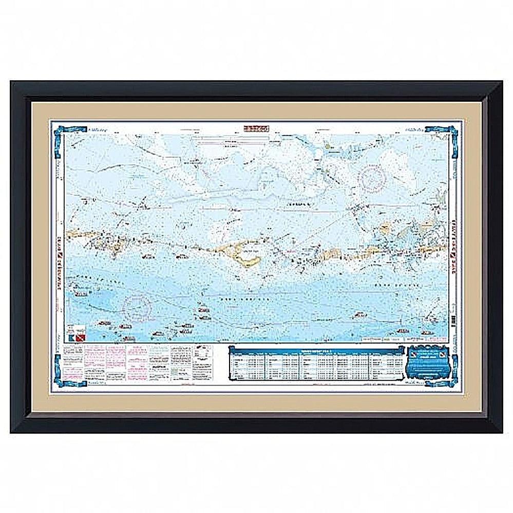
Intracoastal Waterways coverage from Fernandina south thru Amelia Island, Talbot Island, Sisters Creek, and south past Jacksonville Beach to St. Augustine on the north side. The south side details the Intracoastal Waterways from St. Augustine south through Daytona Beach to Ponce Inlet and the city of New Smyrna Beach. For east coast Florida boaters, fishermen, and water adventurers there is no nautical map quite like this one. Intracoastal Waterway coverage runs from Fernandina Beach south thru Amelia Island, Talbot Island, Sisters Creek, and south past Jacksonville Beach to St. Augustine on the north side. The south side details the Intracoastal Waterway from St. Augustine south through Daytona Beach to Ponce Inlet and the city of New Smyrna Beach. Make sure to get this navigation map put in a handsome wood frame and hang it on your home or office wall.
Payment & Security
Payment methods
Your payment information is processed securely. We do not store credit card details nor have access to your credit card information.


